Petrochemical / Industrial 3D Imaging and Survey
Gathering detailed and accurate existing conditions of congested on-shore and off-shore facilities is a major challenge for any retrofit project. SmartGeoMetrics’ experience and background in using the latest technology to collect reliable as-built data for these types of projects has proven to reduce or eliminate costly field reworks resulting in less down time and improved client/owner satisfaction. Our field crews are committed to ensuring their safety and the safety of those working in the vicinity of their projects. Through annual training, our field crews maintain all necessary safety, health, and environmental requirements and qualifications.
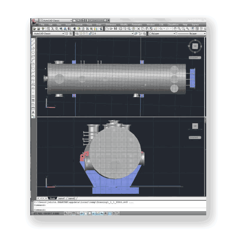
Once the data is collected, our experienced staff can produce deliverables of 3D modeling and point cloud processing in any format specified by our clients. SmartGeoMetrics has established long-term relationships with many of the leading oil and gas, petrochemical and energy companies worldwide.
Petrochemical and Process Services Division
Collecting high-density spatial and geometric data in the petrochemical and process industries is often just the beginning. 2-D working deliverables are an established part of the upstream and downstream process workflow. The Petrochemical and Process Services Division of SGM specializes in creating these unique materials according to standards and practices accepted by the process industry. Whether we start with a 3D scan or are converting 2D to 3D assets, the P&PSD can generate your P&ID diagrams, Isometric drawings and all the associated tables including bills of materials, etc. Our technicians are experienced with process piping and related systems. We offer simple conversions to full plant or station documentations (asset virtualization.)
From spatially accurate AS-IS models from part tables to fully intelligent AS-BUILT models with a complete set of associated drawings, our team will accurately, quickly, and professionally document and create the materials you need.

Benefits 3D Laser Scanning
MORE DATA
-
Eliminates need for field re-visits
SAFER DATA ACQUISITION
-
No Personnel in harm’s way
COMPARABLE COST / SUPERIOR PRODUCT
-
Faster and More Accurate Data Acquisition
-
Interfaces directly with CAD for easy data manipulation
VALUE-ADDED BENEFITS
-
Obtaining Data Beyond the Project Limits
-
Reduce/Eliminate Field Re-Work
COMPLETE FACILITY “AS-IS” DATA
-
Provide higher levels of accuracy
-
Increase quality, while controlling cost
-
Eliminate additional site visits
-
Compress field-to-office timeline
-
Selected feature extraction and manipulation
MULTIPLE USES FOR SINGLE DATASET
-
Space Utilization
-
Real Property Validation
-
Building Information Models (BIM)
-
Geographic Information Systems (GIS)
-
Conflict/Interference Identification
-
Change Detection
-
Security Planning/Threat Analysis
Example: Flange alignment and load path planning for in-kind condenser replacement