
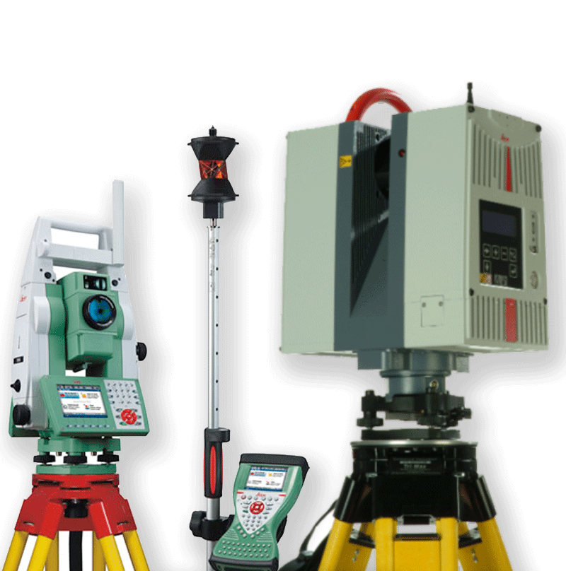
About 3D Laser Scanning
Non-intrusive means of rapidly collecting detailed and accurate “As-Is” data.
Emits a narrow eye-safe laser beam that “sweeps across” a target object gathering literally millions of closely spaced measurements in a matter of minutes.
Grouped into compressed point cloud databases that can be easily manipulated on standard desktop and laptop computers displaying a dense representation of the scene.
Data can be viewed, navigated and analyzed much like a 3D model in traditional CAD systems

Class 3R Laser Product (Eye-safe)
Increased Productivity
-
>50,000 (TOF)/1,000,000 (Phase-Shift) points per sec.
Increased Accuracy
-
Accuracy of single measurement
-
Position – 6 mm (1/4”)
-
Distance – 4 mm (1/6”)
-
Modeled surface precision
-
2mm (1/12”) std. deviation
Laser Scanning 101 - How it all Works
In this excellent video series produced by Leica Geosystems, How it all Works explains in detail how laser scanners work and how they are used. Contact us if you have any questions or want to learn more: info@smartgeometrics.com